
Countries
- To Australia
- To Japan
- To Singapore
- To Thailand
- To the UAE
- To China
- To South Korea
- Browse all countries
- Browse all airlines
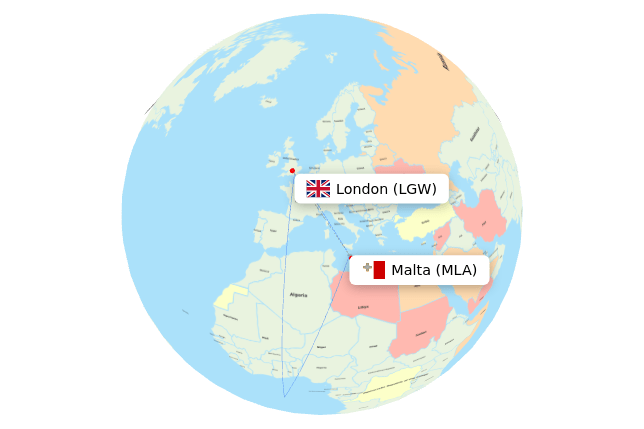
"See actual flight paths with flightpaths.com"
Weather, politics and local regulations can affect the choice of airspace and flight corridors. Flightpaths.com lets you see the real flight paths and compare passenger airlines and flight times simplified on an interactive map.


 France
 Italy
Italy
 Malta
Malta
 United Kingdom
 Over water


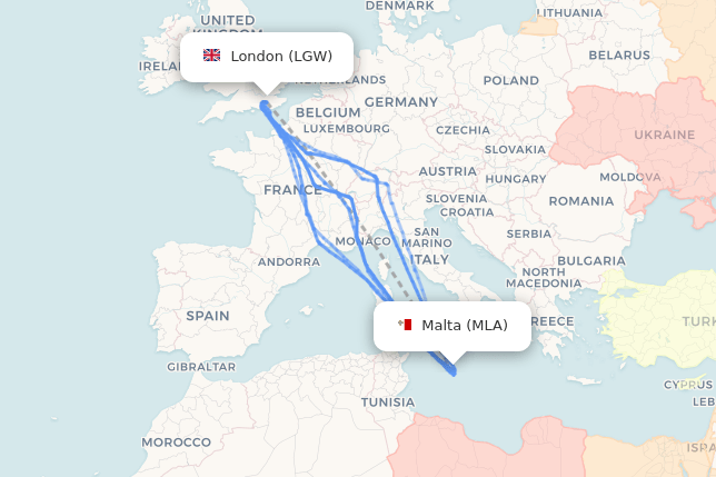
 Switzerland