Countries

"See actual flight paths with flightpaths.com"

Weather, politics and local regulations can affect the choice of airspace and flight corridors. Flightpaths.com lets you see the real flight paths and compare passenger airlines and flight times simplified on an interactive map.
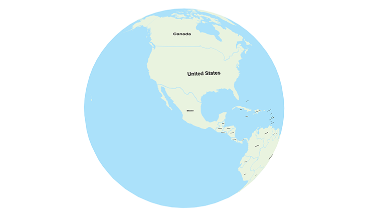
Las Vegas to Kailua-Kona flight paths

Flights from Las Vegas (LAS), USA to Kailua-Kona (KOA), USA illustrated on a map. Based on 6 recorded flights, the distance can vary between 2770 and 2881 miles.

LAS-KOA
LAS-KOA
Recorded 2026-10-09 - 2026-10-18
WN4310
2770 miles
6 flight recordings
WN4310
10/18/2026
B38M
2770 miles
WN4310
10/16/2026
B38M
2789 miles
WN4310
10/15/2026
B38M
2817 miles
WN4310
10/12/2026
B38M
2799 miles
WN4310
10/11/2026
B38M
2805 miles
WN4310
10/09/2026
B38M
2881 miles
WN4310 10/18/2026
Calculated airspace usage
Over water
335 min
LAS-KOA
Great-circle distance
The shortest distance
2715 miles
Country airspace usage
Over water
6 / 6 recorded flights

You can also check the reverse route: Kailua-Kona to Las Vegas

Southwest
Recorded 2026-10-09 - 2026-10-18
WN4310
2770 miles
6 flight recordings
WN4310
10/18/2026
B38M
2770 miles
WN4310
10/16/2026
B38M
2789 miles
WN4310
10/15/2026
B38M
2817 miles
WN4310
10/12/2026
B38M
2799 miles
WN4310
10/11/2026
B38M
2805 miles
WN4310
10/09/2026
B38M
2881 miles
Great-circle distance
The shortest distance
2715 miles
3D Globe
2D Map
LAS KOA
Select dates
Check prices
Loading 1 airlines and 6 flight recording based on 410 data points.